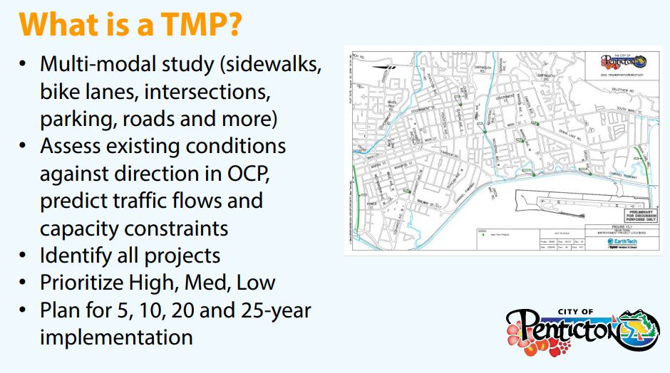
The purpose of the Transportation Master Plan (TMP) is to create and manage a safe transportation system that supports all ages, abilities and modes of transportation, helps meet environmental objectives and uses infrastructure responsibly.
The TMP was developed in 2021 as part of a comprehensive review of the City’s master plans to align with and support the 2045 Official Community Plan (OCP). The policy prioritizes the design, investment and renewal of transportation infrastructure according to the following hierarchy. Scroll down for further details about each of the six priorities.
Six Key Priorities
The Transportation Master Plan prioritizes the following six areas in this order.
Goal: Ensure that residents and workers throughout Penticton have the opportunity to walk to parks, schools, shopping, jobs and other destinations in safety and comfort.
- Prioritize safety and accessibility in downtown
- Address gaps in the pedestrian network
- Enhance and expand the trail and pathway network
- Access to parking in residential areas from laneways
Goal: Develop a connected network of safe and convenient cycling infrastructure that meets the needs of recreational riders, casual riders and commuters.
- Integrate the bicycle network with other modes
- Recognize there are different cycling user groups: recreational, commuters, bikes with trailers
- Ensure significant components are physically separated
- Provide bicycle signals where appropriate
- Provide convenient safe and visible bike lock-up facilities for the public
Goal: Support public transit as a comfortable, affordable, safe and convenient means of local and regional transportation.
- Encourage land use that results in transit-friendly neighbourhoods
- Improve frequency during peak times
- Expand regional transit
- Provide good connecting pedestrian infrastructure
- Improve routes and schedules to meet the needs of students
Goal: Support the continued growth and success of thriving industrial and commercial businesses by ensuring the safe and efficient movement of goods and provision of services in Penticton.
- Direct and safe connections for goods movement servicing linking Highway 97 and industrial areas
- Provide safe truck routes for truck drivers and other users including pedestrians and cyclists
- Ensure developments incorporate adequate loading zones and access for goods delivery
Goal: Ensure that driving is safe for both drivers and other users of the road.
- Design streets to encourage traffic to travel at or below the speed limit
- Implement best practice design solutions to create safe and convenient intersections
- Deploy traffic calming around parks and schools
- Support car share
- Create a balanced parking strategy
Projects Underway
The Lake-to-Lake Route is a 6.7 km protected bike lane through the centre of the city intended to make cycling convenient and safe for residents of all ages and abilities. The route was identified following a two-year consultation process. Currently, 3.8 km of the route is complete and 650 metres will be completed in 2023 as part of the Point Intersection project. The final section is planned to commence later in 2023 and is subject to budget approval.
Construction is set to begin this spring to improve safety and traffic flows in and around the intersection of Skaha Lake Road and South Main, where large volumes of traffic converge. The Point Intersection is the name given to this busy section of roads that include Kinney Avenue, Skaha Lake Road, South Main Street, Main Street and Dawson Avenue. City Council approved a plan in 2019 for the construction improvements.
Maps of Existing and Future Priorities
All maps are from Penticton's Transportation Master Plan documents.
Existing and Proposed Cycling Network
Download: Existing and Proposed Cycling Network
Separated Cycling and Transit Routes
Download: Separated Cycling and Transit Routes
Prioritized Cycling Upgrades
Download: Prioritized Cycling Upgrades
All maps are from Penticton's Transportation Master Plan documents.
Prioritized Intersection Upgrades
Download: Prioritized Intersection Upgrades
Recommended Truck Route Network
Download: Recommended Truck Route Network
Speed Concerns Map
Download: Speed Concerns Map
All maps are from Penticton's Transportation Master Plan documents.
Prioritized Sidewalk Upgrades
Download: Prioritized Sidewalk Upgrades
Public Streets with No Sidewalks
Download: Public Streets with No Sidewalks
Strategic Sidewalk Priority Plan
Download: Strategic Sidewalk Priority Plan
All maps are from Penticton's Transportation Master Plan documents.
Separated Cycling and Transit Routes
Download: Separated Cycling and Transit Routes
Existing Transit Route Map
Download:Existing Transit Route Map
About the Transportation Master Plan
- Transportation Master Plan 2020-2045 Part 1 - Existing Conditions
- Transportation Master Plan 2020-2045 Part 2 - Future Conditions
- Transportation Master Plan 2020-2045 Part 3 - Capital Recommendations - Part 1
- Transportation Master Plan 2020-2045 Part 3 - Capital Recommendations - Part 2
- Transportation Master Plan 2020-2045 Part 3 - Capital Recommendations - Part 3
- Transportation Master Plan 2020-2045 Part 4 - Appendices
The guiding principles of the Transportation Master Plan prioritize safety first, then mode priority hierarchy (walking, biking, transit, goods movement, multiple-occupant vehicle, single-occupant vehicle), and finally a geography-based priority for transportation improvements focusing on the strategic investment areas (Downtown, Northern Gateway, Industrial Area, and Skaha Lake Road). The plan also recognizes the Kettle Valley Railway (KVR) as an important opportunity for walking and biking.
Development
The City’s 2045 Official Community Plan (OCP), completed in 2019, is a guiding document that provides long-term direction for future decision-making. The TMP was developed in 2021 as part of a comprehensive review of the City’s master plans to align with and support the OCP.
The TMP supports a safe transportation system for all ages, abilities and modes of transportation, also meeting environmental objectives and using infrastructure responsibly.
What it Involves
- Reassign transportation corridors
- Reduced road widths and on-street parking
- Design complete streets for all users
- Create multi-use pathways
- Promote walking, cycling and transit through strategic land use planning
- Prioritize investment in improving the transportation system in the downtown, including trails and links to key community nodes
Related Pages
Contact Us
To make a suggestion or report a concern, please use our online form.
Engineering Department
Phone: 250-490-2521
Email: engineering@penticton.ca